
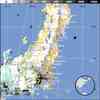
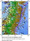
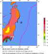
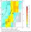
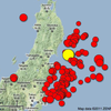
Magnitude 9.0 - NEAR THE EAST COAST OF HONSHU, JAPAN
2011 March 11 05:46:23 UTC
Earthquake Details
- This event has been reviewed by a seismologist.
| Magnitude | 9.0 |
|---|---|
| Date-Time |
|
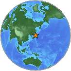
| Location | 38.322°N, 142.369°E |
| Depth | 32 km (19.9 miles) set by location program |
| Region | NEAR THE EAST COAST OF HONSHU, JAPAN |
| Distances | 130 km (80 miles) E of Sendai, Honshu, Japan 178 km (110 miles) E of Yamagata, Honshu, Japan 178 km (110 miles) ENE of Fukushima, Honshu, Japan 373 km (231 miles) NE of TOKYO, Japan |
| Location Uncertainty | horizontal +/- 13.5 km (8.4 miles); depth fixed by location program |
| Parameters | NST=350, Nph=351, Dmin=416.3 km, Rmss=1.46 sec, Gp=
29°, M-type=centroid moment magnitude (Mw), Version=A |
| Source |
|
| Event ID | usc0001xgp |
- Press Release: USGS Updates Magnitude of Japan's 2011 Tohoku Earthquake to 9.0Mon, 14 Mar 2011 17:35:00 EDT
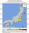
- Did you feel it? Report shaking and damage at your location. You can also view a map displaying accumulated data from your report and others.
Earthquake Summary
Tectonic Summary
Versión
en Español
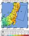
The magnitude 9.0 Tohoku earthquake on March 11, 2011, which
occurred near the northeast coast of Honshu, Japan, resulted from thrust
faulting on or near the subduction zone plate boundary between the Pacific and
North America plates.
At the latitude of this earthquake, the Pacific plate moves approximately
westwards with respect to the North America plate at a rate of 83 mm/yr, and
begins its westward descent beneath Japan at the Japan Trench. Note that some
authors divide this region into several microplates that together define the
relative motions between the larger Pacific, North America and Eurasia plates;
these include the Okhotsk and Amur microplates that are respectively part of
North America and Eurasia.
The March 11 earthquake was preceded by a series of large foreshocks over the previous two days, beginning on March 9th with a M 7.2 event approximately 40 km from the epicenter of the March 11 earthquake, and continuing with another three earthquakes greater than M 6 on the same day.
The Japan Trench subduction zone has hosted nine events of magnitude 7 or greater since 1973. The largest of these, a M 7.8 earthquake approximately 260 km to the north of the March 11 epicenter, caused 3 fatalities and almost 700 injuries in December 1994. In June of 1978, a M 7.7 earthquake 35 km to the southwest of the March 11 epicenter caused 22 fatalities and over 400 injuries. Large offshore earthquakes have occurred in the same subduction zone in 1611, 1896 and 1933 that each produced devastating tsunami waves on the Sanriku coast of Pacific NE Japan. That coastline is particularly vulnerable to tsunami waves because it has many deep coastal embayments that amplify tsunami waves and cause great wave inundations. The M 7.6 subduction earthquake of 1896 created tsunami waves as high 38 m and a reported death toll of 27,000. The M 8.6 earthquake of March 2, 1933 produced tsunami waves as high as 29 m on the Sanriku coast and caused more than 3000 fatalities.
The March 11, 2011 earthquake was an infrequent catastrophe. It far surpassed other earthquakes in the southern Japan Trench of the 20th century, none of which attained M8. A predecessor may have occurred on July 13, 869, when the Sendai area was swept by a large tsunami that Japanese scientists have identified from written records and a sand sheet.
Continuing readjustments of stress and associated aftershocks are expected in the region of this earthquake. The exact location and timing of future aftershocks cannot be specified. Numbers of aftershocks will continue to be highest on and near to fault-segments on which rupture occurred at the time of the main-shock. The frequency of aftershocks will tend to decrease with elapsed time from the time of the main shock, but the general decrease of activity may be punctuated by episodes of higher aftershock activity. The risks of great earthquakes at locations far from northern Honshu are neither significantly higher nor significantly lower than before the March 11 main-shock.
Earthquake Information for Asia
Earthquake Information for Japan
Seismicity of the Earth 1900 to 2007, Japan and Vicinity Map
USGS Audio CoreCast Interview with Seismologists Bill Ellsworth and Eric Geist
Earthquake Maps
Scientific & Technical Information

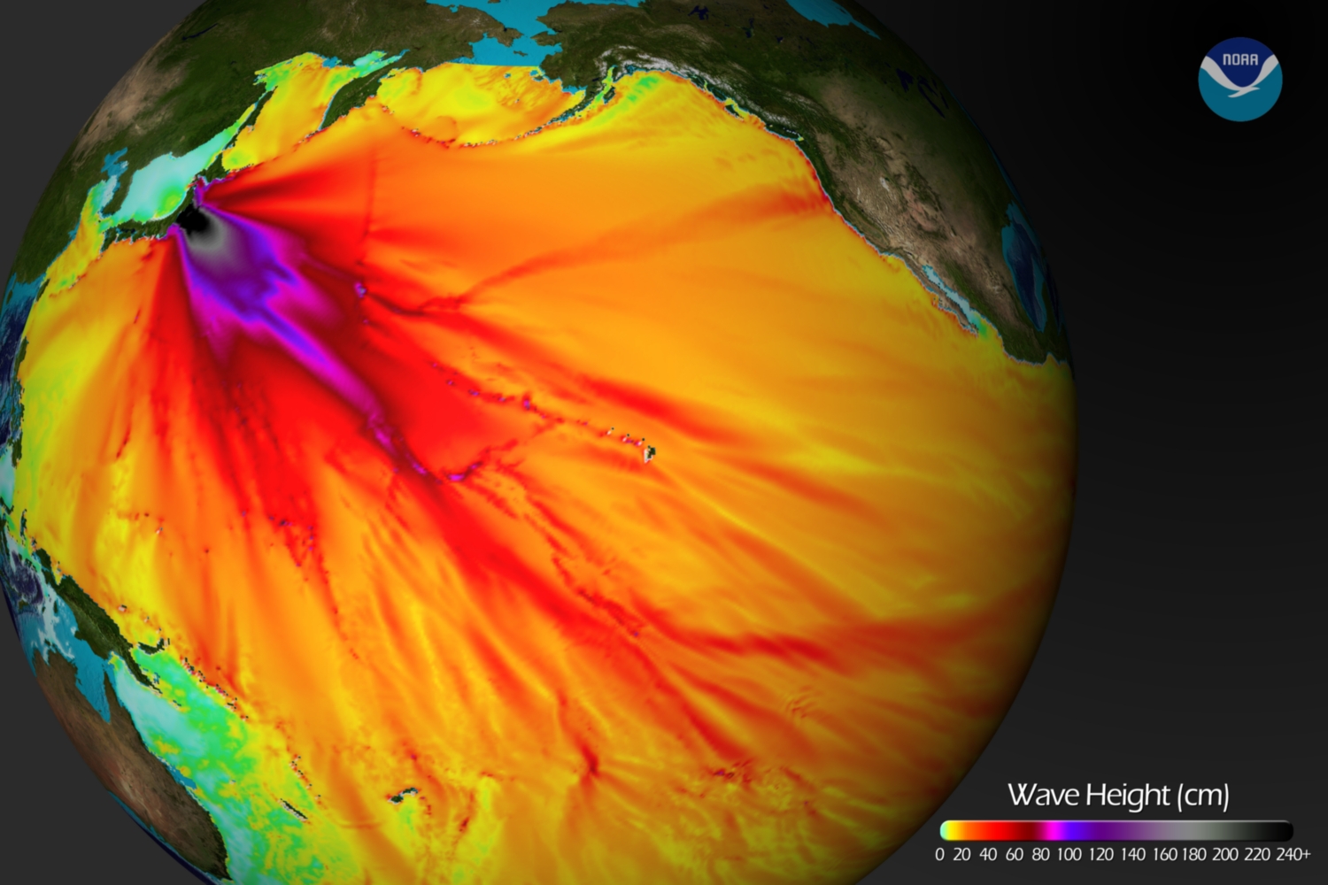
 Tsunami
Information
Tsunami
Information
The earthquake locations and magnitudes cited in NOAA tsunami statements and bulletins are preliminary and are superseded by USGS locations and magnitudes computed using more extensive data sets.
NOAA Tsunami Bulletins for this Earthquake
General Tsunami Information
- Preliminary Earthquake Report
- U.S. Geological
Survey, National Earthquake Information Center:
World Data Center for Seismology, Denver
